Report from the Bateke plateau
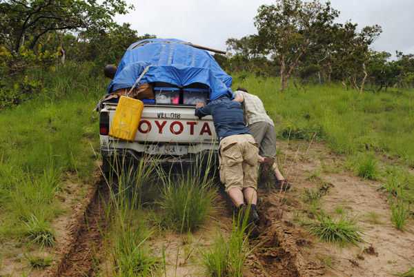
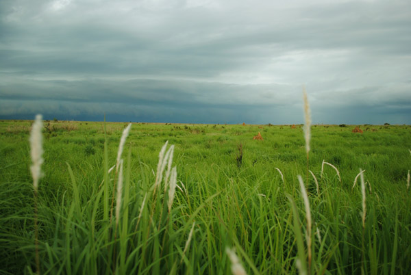
Four hundred kilometers and six hours of torrential rains after leaving Brazzaville, we have completed our sampling of savanna on the Bateke plateau. The hope was to collect from four or five rivers on the plateau, but despite old maps suggesting otherwise, they just do not exist. The Djili River, that was sampled, runs through gallery forest at the bottom of a deep rivine. The river serves as the principal source of water for the town of Djambala; large generators pump water up to the top of the plateau where the town sits. Sampling the river was easy, getting back out of the ravine was harder, at places we physically pushed the 4×4 up the sandy hillside.

Hands-on science
Rivers carry a chemical signature representative of the land and vegetation around them. We traveled over 100 km off the main highway to sample the Djili River because it traverses a different habitat than the other 50 sites we will sample, many for the second time this year. The Djili River is the fourth river we have sampled since starting our trek, and each has been different in size, color of water, and surrounding vegetation. At each site, we collect data on a multitude of different river characteristics, including the amount of carbon, the rate of flow, and much more. Back at the lab, protected from the inconsistencies of weather and the biting black flies, we will pull further information from the water samples that we are collecting.

Savanna on the Bateke plateau
